|

We arrived on a Tuesday afternoon in late March, during a school break week. There were a few sites available for a night or two, which was all we wanted. The campground was a lot more wooded than we like, so we decided on a one-night stop. From the campground map, we picked site 44, with the understanding that if we didn't like it, we could call and change sites.
Finding the office was not easy - signs at road turns had arrows for it, but when we got to the end of the road, there was a parking area for the Old Stone Fort area, but no sign for an office. Finally we spotted the museum and it turned out the park office was also there. There really is no parking for RV's, so all you can do is try to squeeze in among all the cars.
|
|

To get to the campground one must cross this narrow bridge over the Big Duck River.
|
|

Sites 1 and 2 are closest to the campground entrance.
|
|
A little farther down the road is site 9. All the sites here back-in sites.
|
|

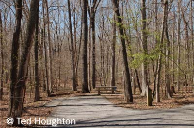
Sites 20 and 19 are near the bluff that looks down over the river.
|
|
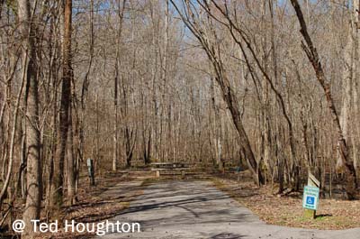
Site 25 is one of two handicapped-accessible sites. Each is near a bathhouse and has an extra-wide parking pad. It did look as if it could get pretty soggy in a rain storm.
Sites 8-29 are at the far end of the campground, and appear to be closed in the winter. Reservation slips were on some sites, however, starting with the first of April.
|
|

Sites30 and 29.
|
|
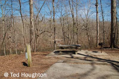
Site 33 is one of the nicest sites in the campground, offering a great view of the river behind it.
Note the position of the electric post - on the passenger side of the site. Most of the sites are similar, so you might need a heavy-duty extension cord to hookup.
|
|

Sites 35 and 34.
|
|

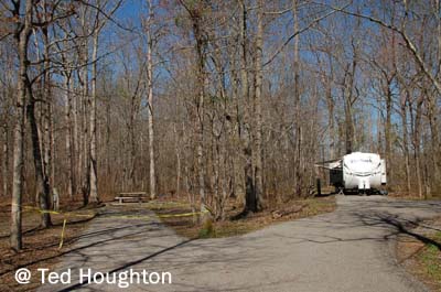
Sites 41 and 40. Site 40, to the right, is one of a few sites with a raised tent pad.
|
|
Sites 47 and 46.
|
|
Site 49 is another site designed for the handicapped camper.
|
|

This is the smaller of two bathhouses in the campground. Unfortunately, it does not have showers; the other one does, but is closed in the winter.
|
|

This is the open area of the Old Stone Fort. The area was most likely built between 80 and 550 AD during the Middle Woodland period. It is the most complex hilltop enclosure found in the South.
|
|

It was likely used for ceremonial purposes rather than defense, as evidenced by the entrance mounds which were aimed exactly to where the sun rises on the summer solstice.
|
|
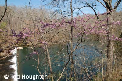
The Big Duck River flows past the museum.
|
|
Amenities
51 sites: W/E(20/30A) - $20
Senior discount available
Dump station, showers (only in summer)
Verizon 4G coverage - fair
Park entrance coordinates: 35.494399 N, 86.102652W
Elevation: 1077'

|

