|
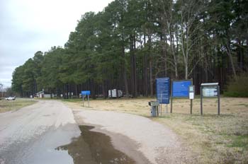
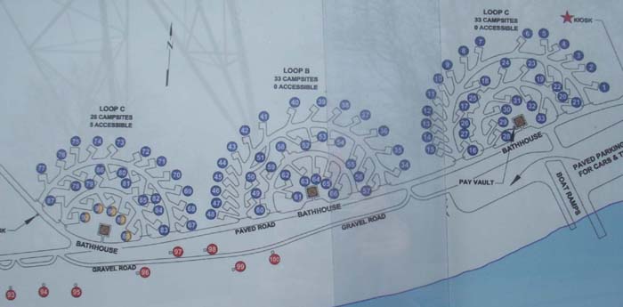
Approaching the campground one first passes the self-pay station. There is a large map of the campground posted here as well as the rules and regulations, fees and self-pay envelopes.
|
|
We arrived at Pickwick Dam on a Friday afternoon - no problem finding a site. We felt lucky to find an empty site, #16, at the edge of the campground that afforded us a view of the river and locks.
|
|
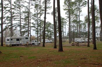
I had to put up with rather dreary conditions for taking my campground pictures, so they're not quite as vivid as I usually post.
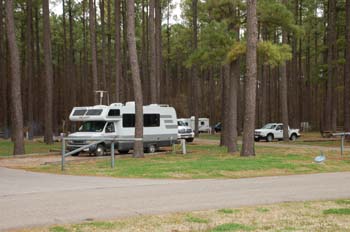
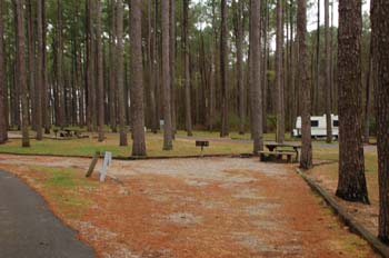
Here are sites 20 and 9 on the left, and sites 1-2 on the right.
|
|
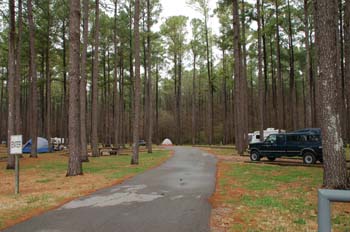
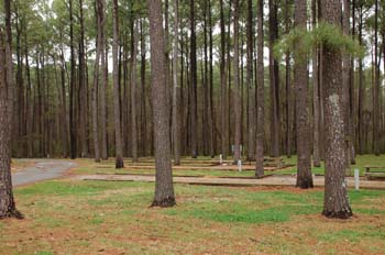
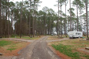
This shows quite well the setting of the campground in a pine grove. There is no undergrowth and lots of grass - very pleasant.
These are sites 32 and 33 on the right, and 22 on the left (with the tent).
|
|
There are a few pull-through sites - 25 is one of them.
|
|
There are three loops of campsites - the middle loop with sites 34 to 66 was closed at the time of our visit. Sites 34 to 37 are on the right as one enters this loop.
|
|
Sites 55 to 57. In the distance is the Tennessee River.
|
|
Sites 40 to 43 on the left, 51 (a pull-through) on the right.
|
|
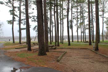
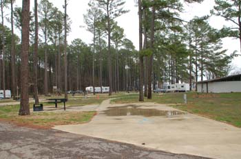
Looking across into the third camp loop, we see sites 68 and 69.
|
|
On the left are sites 73 to 70, while 82 and 83 are to the right. The pines in this loop have been thinned out a bit and the sites are newer and a little larger. Manuevering a big rig into the sites in the first two loops could be a challenge.
|
|
Close to the bathhouse in the third loop are five paved sites reserved for use by handicapped individuals.
|
|
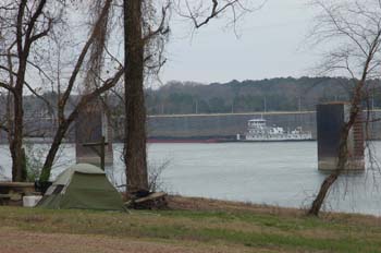
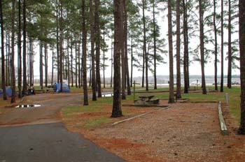
Between the road and the river are six tent sites; this one is number 99.
|
|
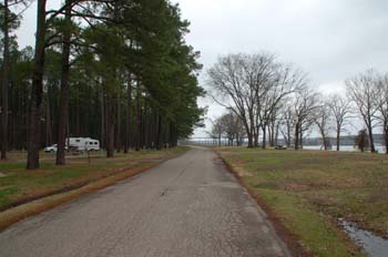
This gives one a good perspective of the placement of the campground. The river is on the right with the tent sites between it and the road. To the left is the main campground with the hookup sites in the pine grove.
|
|
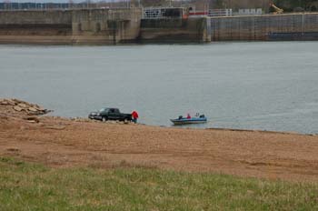
There is a boat ramp right across the road from the campground.
|
|
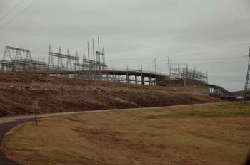
Pickwick Dam was built in the 1930's on the Tennessee River, which runs south to north and with the help of locks is a navigable waterway. The TVA campground at Pickwick is just below the dam and across from the locks.
The dam is 113 feet high and 7,715 feet long, and has a generating capacity of 240,200 kilowatts. We drove over that bridge atop the dam to get to the campground.
The lock is used by both commercial barge traffic and recreational boaters.
|
|
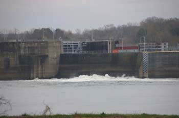
The lock raises boats 63 feet. When the water in the lock needs to be lowered, it is expelled through vents, really roiling the water.
|
|
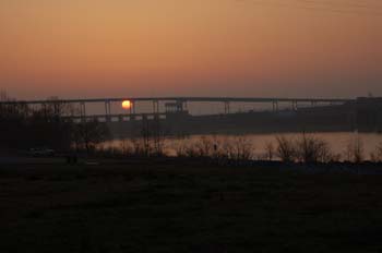
Sunrise over the dam, under the bridge.
|
|
Amenities
92 campsites with W/E(20/30/50A) hookups - $22
8 tent sites - $10
Golden Age Pass honored
Dump station, showers
Excellent VZW 3G coverage
Coordinates: 35.066239 North, 88.262689 West
Elevation: 406'
|